Map of Life Rapid Assessments Team one of six Finalists for XPRIZE Rainforest

It was a whirlwind of a week full of tweaking and fine-tuning for the Map of Life Rapid Assessments team during the XPRIZE Rainforest Semifinals competition. Backed by a fleet of semi-autonomous drones, remotely connected local species experts, and the Map of Life biodiversity platform, the team identified more than 150 unique species in Singapore’s central rainforest, propelling them to the Finals stage of the competition.
“I was so excited to hear the news that we had made it to the finals,” said Kalkidan Fekadu Chefira, a software engineer on the team. “I am honored to be a part of this team and the competition to help make impactful contributions in the field of biodiversity sampling and rainforest ecosystems.”
XPRIZE Rainforest is a global 5-year, $10 million competition to enhance our understanding of tropical rainforest ecosystems around the world. Incentivizing teams to innovate rapid and autonomous technology to expedite the monitoring of biodiversity and data collection, this prize aims to allow researchers to gain near real-time insights about the health and well-being of rainforests that can more immediately inform conservation action and policy, support sustainable bioeconomies, and empower Indigenous Peoples and local communities around the world. What makes the competition unique is that teams are prohibited from setting foot in the rainforest they’re surveying.
“Supporting local and regional stakeholders to more effectively bring biodiversity into their conservation decisions is a key goal of the Yale University Center for Biodiversity and Global Change and one of its flagship efforts, Map of Life,” said Walter Jetz, a professor of ecology and evolutionary biology at Yale and the team lead. “Together with a range of international science and impact partners, Map of Life is delivering evidence about local biodiversity, its threats and change worldwide. Map of Life Rapid Assessments (MOLRA) are an effort to link this global knowledge base to locally collected information from newly emerging sensor and automated monitoring technologies.”
XPRIZE Rainforest represents an outstanding opportunity to test and demonstrate the potential of MOLRA, according to Jetz. Together with partners from the Field Museum in Chicago, a team was formed to enter the competition. Alongside 12 others from around the world, the MOLRA XPRIZE team was selected to compete in the Semifinals in Singapore in June 2023, the first official field test of the solutions.

While this team of biodiversity scientists has long been collecting and analyzing species information, some parts of the competition landscape were relatively recent territory – namely, the deployment of unmanned aerial vehicles (UAVs) to remotely collect visual and audio samples from the site of interest. Employing a suite of customized off-the-shelf UAVs, the team devised a survey strategy to optimize sampling across habitat types and forest levels, from the leaf litter to the upper canopy.
“Unlocking the use of UAVs, particularly commonly available commercial drones, for remote survey of biodiversity around the globe has tremendous potential to improve our understanding of so many species and ecosystems,” said Kevin Winner, the lead data scientist on the team. “Not only within each local site but also more broadly throughout the region and across the globe, and to make these insights really actionable for decision makers across all scales.”

The collected samples were run through a machine learning pipeline to detect potential plant and animal observations and prioritize them for review by local bird, bat, bug, and botanical experts who authoritatively identified the digital specimens. “The goal is to extend the impact of local biodiversity experts,” said Nigel Pitman, a Field Museum scientist who coordinated a team of Singaporean plant experts during the semifinals. “Ideally, these new tools will allow those experts to visit more forests and record more species, and to do it with the speed that the conservation challenges demand.”
All stages of this process were supported by the MOLRA Dashboard: an interactive cloud-based interface that links Map of Life’s authoritative species information to local survey data. For any site in the world, the Dashboard is able to tap into Map of Life to generate a list of expected species and associated biodiversity and conservation insights, a feat made possible by years of effort by Map of Life to curate species data and develop top-of-the-line species distribution models and official biodiversity indicators.
In addition to readily accommodating new sensors and technologies, an important aspect of MOLRA is the effective remote involvement of experts of the local species, according to Jetz. “This magnifies the contribution that experts located nearby or far away can make.”
“Through Map of Life, the Yale Center for Biodiversity and Global Change, and the Field Museum, we’ve had many experiences integrating our biodiversity data and tools to conservation practitioners and decision makers,” said Alex Killion, a MOLRA team member. “A critical component of that process is linking in the end user at the beginning of the process. We feel digital specimens and a transparent process that involves stakeholders are crucial to develop trust and joint confidence in the reliability of the data, and co-ownership of the information and tools.”
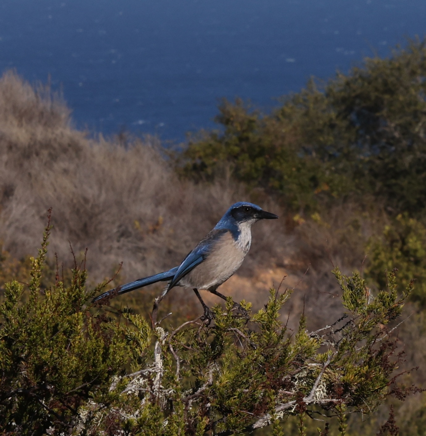
At the close of the 24 hours Semifinals period, the team gathered a total of 2,199 visual and 292 acoustic samples with expected detections that led to a total of 1,419 species identifications, amounting to 153 unique detected species across plants, mammals, birds, reptiles, amphibians, and insects.

Six teams are moving forward to the Final stage of the competition; Finals testing will take place in 2024. The winning team will survey the most biodiversity contained in 100 hectares of tropical rainforest in 24 hours and produce the most impactful real-time insights within 48 hours.
“We are thrilled to be advancing to the Finals stage and committed to further developing our solution for future deployments around the world, and to bridging local surveys with global data to develop new and unique biodiversity insights,” said Chefira.
The MOLRA XPRIZE team invites anyone interested to follow its progress and solutions at mol.org/xprize.
To learn more about the competition, visit xprize.org/Rainforest